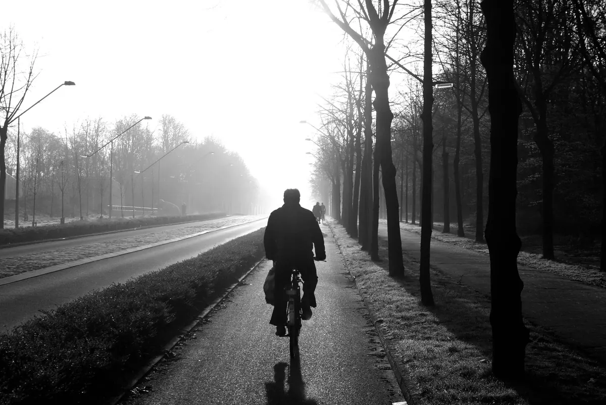
Fog rarely makes headlines, yet it closes roads, delays flights and turns a familiar lane into somewhere unrecognisable. On a still October morning you can step out of a warm kitchen into air that feels almost solid, then watch the whole thing vanish by nine o'clock under a blue sky.
The explanation is simpler than it looks. Fog is a cloud that has formed at ground level. The haar rolling off the North Sea, the mist curling off a river at dusk, the freezing fog that leaves a windscreen caked in ice — all of them are the same process running under slightly different conditions.
Fog and mist are the same thing separated by how far you can see. In the UK, we usually say mist when visibility is somewhere between one and two kilometres, and fog once it drops below a kilometre. Below roughly 200 metres, traffic slows to walking pace. Below 50 metres, driving becomes a gamble rather than a journey.
Both are made of countless tiny water droplets suspended in air near the surface — or ice crystals, when it is cold enough. Each droplet is a fraction of the width of a raindrop, which is exactly why fog hangs rather than falls. Raindrops have enough mass to be pulled down by gravity. Fog droplets barely do, so the gentlest stirring of air keeps them afloat.
It helps to separate fog from haze. Haze is dry — dust, smoke and pollution scattering light — and though it can dull a view over the Pennines or a city skyline, it is not water and will not condense on your coat.
Forecasters look for the same combination, and so can you:
The dew point is the number worth watching. If a weather app shows the overnight temperature falling to within a degree or two of the dew point, and the wind is light, fog is a real possibility. Leave a gap of five degrees or more on a clear, calm evening and you are more likely to get dew on the grass, or a touch of frost, than fog in the air.
The classic British fog forms on calm, clear nights, especially from late autumn into winter. With no cloud to trap it, the ground radiates its heat away into space and the air immediately above it chills. Cool that layer to its dew point and droplets appear — first as a shallow layer in the field behind the house, then as something far more determined.
Three conditions make it much more likely:
Cold air is denser than warm air, so it slides downhill and pools in hollows, valley bottoms and floodplains. That is why the dip in the road is foggy while the hilltop is clear, and why the Severn, Trent and Thames valleys, the Fens and countless smaller river crossings are notorious. If your route drops into a valley on an autumn morning, budget extra time.
Not all fog needs a clear night. Advection fog forms when mild, moist air drifts over a cold surface and is chilled from below. This is the mechanism behind the haar that swallows parts of eastern Scotland and north-east England, often in spring and early summer, when air that has travelled over a chilly North Sea is pushed inland.
Advection fog behaves differently from its radiation cousin. Because it is fed by moving air, it can be thicker, last through the day and travel many miles inland. It also explains why some coastlines sit under grey murk while twenty miles away people are in short sleeves.
When cloud sits low enough to touch the hills, walkers call it hill fog. On the tops of the Pennines, Snowdonia or the Cairngorms it soaks clothing, erases paths and turns a straightforward navigation leg into a compass exercise.
In freezing fog the droplets stay liquid well below zero, becoming supercooled. They freeze the instant they touch anything solid, building up rime ice on branches, fences, vehicles and overhead lines. Roads can turn treacherous even where no rain has fallen, and a windscreen can glaze over seconds after you clear it.
Sometimes the water is warmer than the air. Cold air passing over a river, lake or the sea picks up vapour that condenses immediately into wisps that look like smoke — the mist that drifts off a river at dawn in October, or off the sea during a sharp cold snap.
Radiation fog is usually self-limiting. Once the sun warms the ground, the air mixes and the droplets evaporate; shallow fog can be gone by mid-morning. But in a winter high-pressure system, where warm air sits on top of cold air and refuses to mix, fog can settle in for days. Forecasters describe this as an inversion, and it is why some December weeks feel permanently dim.
A strengthening wind often lifts fog into low cloud rather than clearing it, which is why a hillside forecast may switch from "fog" to "cloud covering the tops".
None of this makes fog mysterious. It is a straightforward consequence of cooling, moisture and still air — and once you start noticing the dew point on a calm autumn evening, you will usually know it is coming before it arrives.
Photo: Rino Adamo / Pexels