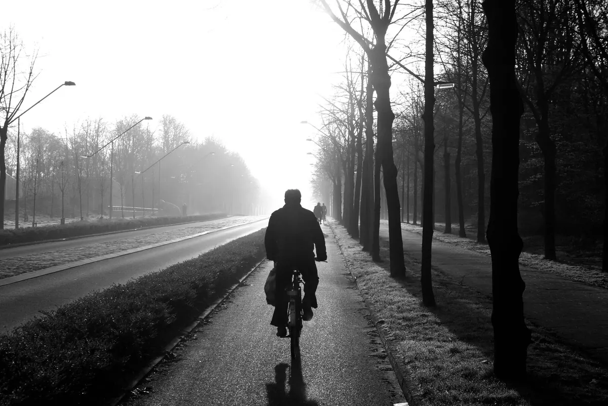
Fog is the quietest kind of bad weather. No warnings flashing on the dashboard, no dramatic clouds on the horizon — just a grey wall that turns a familiar route into something slow, tiring and occasionally frightening. If you have ever set off on a clear morning in Birmingham and crawled into thick fog on the M6 an hour later, you already know why it pays to check visibility before you travel, not after.
Visibility maps and forecasts are the tools for that job. They are free, widely available, and surprisingly easy to read once you know what the colours and numbers mean. Here is how to use them properly when planning a UK journey.
A visibility map displays how far you can see at ground level, usually measured in metres or miles. Forecasters group visibility into bands, and the map shades each region accordingly. The exact colour scheme varies between providers, so always check the legend rather than assuming, but the categories are fairly consistent:
Some maps show a single snapshot for a chosen hour; others animate through the day. Animated versions are far more useful for travel, because they show whether fog is forming, thickening, or burning off — and when.
Most UK fog, particularly in autumn and winter, is radiation fog. It forms on calm, clear nights when the ground cools quickly and the air just above it chills to its dew point. The result is a shallow, patchy layer that tends to be at its worst around dawn and the first hour or two after sunrise.
That pattern matters enormously for trip planning. If your visibility map shows dense fog at 6am across the Midlands or the Thames Valley, there is a decent chance it will have lifted to mist or cleared by mid-morning. Leaving an hour later can turn a stressful crawl into an ordinary drive.
The opposite is also true. Fog that has settled in a valley or along a river — the Severn, the Trent, the Ouse — can linger well into the day, especially in still, cold conditions. Coastal fog and sea fret, common along the North Sea coast in spring and early summer, behave differently again: they are driven by sea temperatures and onshore winds, and can appear or clear within a couple of hours.
Visibility forecasts are usually bundled into general weather forecasts rather than presented on their own. When you check, look for a few specific things:
Regional forecasts will not capture local variation, and fog is a very local phenomenon. Low-lying roads, river valleys, motorway junctions near water and rural A-roads through farmland all collect fog that nearby towns escape. If you have a long drive, check the forecast for two or three points along the way rather than just your start and finish. The Met Office and most major weather apps let you search by town or postcode, which is usually enough to spot a problem area.
Once you know visibility is likely to be reduced, adjust the plan rather than just the driving.
If you do drive, use dipped headlights and fog lights where visibility drops below roughly 100 metres, keep a much larger gap than usual, and resist the temptation to follow the tail lights ahead too closely. That habit is how multi-car pile-ups begin. If conditions become genuinely dangerous, leaving the motorway at the next exit and waiting it out is a sensible choice, not a failure.
The Met Office publishes UK fog and visibility forecasts alongside its general outlook, and its mountain and coastal forecasts are useful for upland and seaside routes. Weather apps such as those from the Met Office and other established providers include visibility in their detailed hourly views, though you may need to tap through to see it. Airport and ferry operators publish their own travel updates, which are worth checking if fog threatens a flight or crossing — airports can operate in fog using instrument landing systems, but low visibility still causes delays and diversions.
For a quick gut-check before any winter journey, look at three things: the visibility band on the map, the wind speed, and the time of day. Calm, cold and early is the combination that produces the thickest fog.
Check the visibility map for your route, note when fog is expected to be at its worst, and decide whether shifting your departure by an hour or two solves the problem. Confirm your fog lights work, top up washer fluid, and allow extra time. Leave a bigger gap than feels natural, and if the fog closes in beyond what you are comfortable with, pull off somewhere safe and wait. The forecast is a guide, not a guarantee — conditions on the ground always have the final say. Planning around visibility is really just planning around patience, and patience is the cheapest safety measure available.
Photo: 12019 / Pixabay