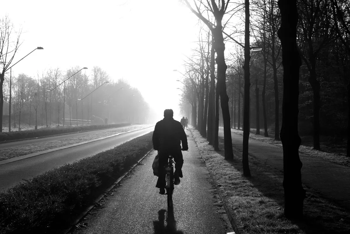
Two mornings in the same week can look nothing alike. One is sharp and clear, rooftops crisp against a pale sky. The next, at much the same temperature, the street has gone soft: hedges blurred, streetlamps haloed, the far end of the park quietly vanished into grey. The forecast barely changed. What changed was the dew point.
It is one of the most useful numbers on a weather page and one of the least explained. Once you can read it, misty mornings stop being a mystery — and you can often tell the night before whether you will be walking through fog or scraping a windscreen.
Air always carries water vapour, but warm air can hold far more of it than cold air. The dew point is the temperature the air would have to be cooled to before that vapour starts turning back into liquid — dew on the grass, droplets on a car roof, or fog hanging over a field.
Relative humidity, the number most apps show first, is easily misread. It describes how full of moisture the air is at its current temperature, not how much moisture is actually there. Eighty per cent humidity at 20°C is a muggy summer evening. Eighty per cent at 5°C is a chilly, fairly dry morning. Same figure, completely different world.
The dew point avoids that confusion. It describes the moisture itself, and its real value is the gap between it and the actual air temperature.
Forecasters call the gap between temperature and dew point the spread. A wide spread means the air is a long way from condensing: dryish, usually clear, mist unlikely. A narrow spread — two degrees or less — means the air is nearly there. One degree, and a modest overnight chill is enough to tip it over.
Most mist and fog in the UK forms by cooling rather than by moisture arriving from somewhere else. The process is straightforward, and it runs on the same principle every clear night.
Wind cuts both ways. A strong breeze mixes drier air down from above and stops the surface layer ever reaching its dew point. Dead calm is also unhelpful: the cooling stays in the lowest few centimetres and you get dew rather than fog. A light breeze, enough to stir the air a metre or two up, is the sweet spot.
Mist needs several things to line up at once. If one of them is missing, you get a clear morning instead.
Flip any of those and the morning stays bright. A windy night, a blanket of cloud, a dry air mass or an exposed hilltop all keep the temperature well clear of the dew point.
Not all fog comes from overnight cooling. Advection fog forms when mild, moist air drifts over a cold surface — the classic spring sea fog along North Sea coasts, which can roll in on a mild afternoon without any cooling at all. It behaves differently from the dawn mist you get inland, and it can linger for days if the wind keeps feeding it.
The night before, check two figures for your area: the forecast dew point for the early morning, and the forecast minimum temperature. If the dew point sits within about two degrees of that minimum, expect mist in the usual damp, low-lying places. If the two are within a degree, plan for fog patches and add time to the morning drive.
You can also check at home. A windscreen that is clear at ten in the evening and beaded at seven tells you the dew point was reached overnight. An outdoor thermometer that reads barely above the dew point by dawn tells you the same thing. After a few weeks of comparing the two, you will start predicting your own street better than a general forecast can.
Meteorologically, fog is when visibility drops below about a kilometre. Mist is the lighter version — damp, droplet-filled air, but with visibility of a kilometre or two. Haze is different again: it is dry particles, dust and pollution rather than water droplets, so the air can look murky while every surface stays bone dry.
One more detail worth knowing. If the dew point overnight is below freezing, the vapour skips the liquid stage and goes straight to ice on cold surfaces. That is frost, and it means the same forecast logic applies — only the result on the grass is white and crunchy rather than wet.
A dew point forecast earns its place in everyday planning. Fog thickens and thins in patches, so on a misty drive use dipped headlights, slow down and leave a bigger gap than usual — dips in the road and stretches beside water are where it will be worst. High dew points also mean still, humid air, so washing hung out overnight will not dry, and a morning run will feel harder work than the temperature alone suggests.
For anyone with a camera, the reward is short-lived: mist sits in valleys just after sunrise and lifts quickly once the sun reaches the ground. Gardeners can use the same figure as an early frost warning, since a dew point below zero means tender plants need covering.
The temperature tells you how the day will feel. The dew point tells you what the morning will actually look like.
Photo: Sinitta Leunen / Pexels