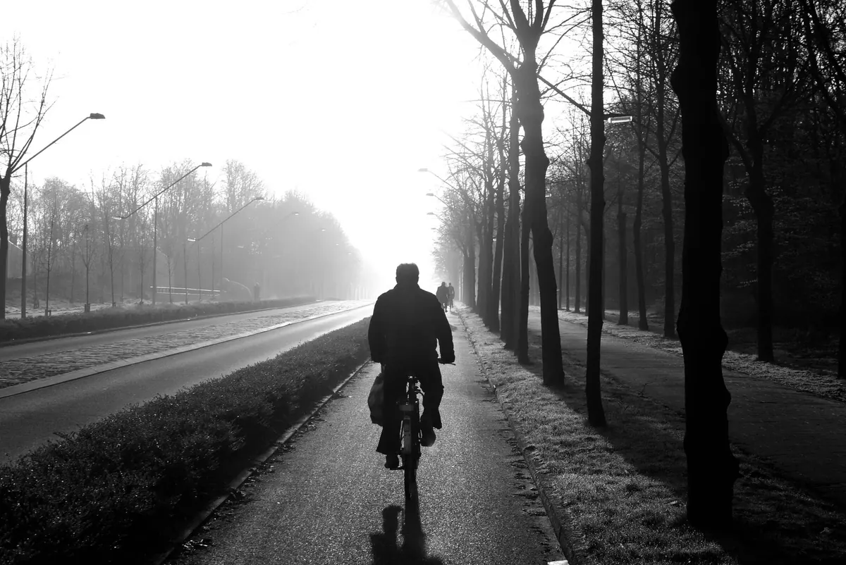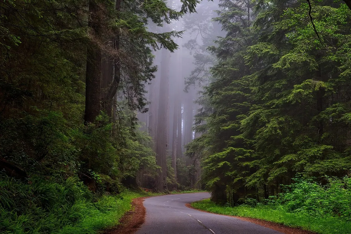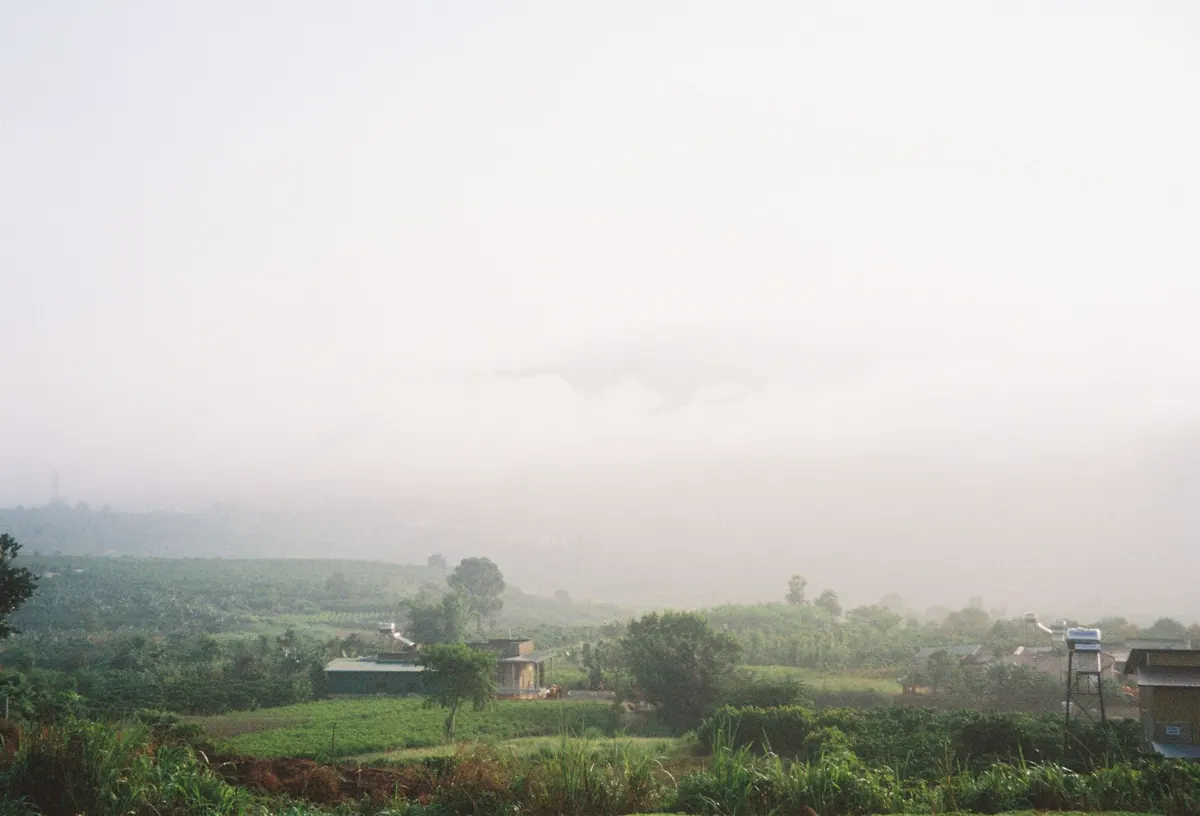
Fog is one of the few weather events that can close an airport, ruin a commute and turn a familiar field into strange territory, all before breakfast. It is also the most localised weather we get. Two towns twenty miles apart can have completely different mornings, and a valley bottom can be thick with fog while the hill above it sits in sunshine.
Britain is well set up for fog. The air is usually moist, the ground is often wet, autumn and winter bring long clear nights, and there are plenty of river valleys, estuaries and cold seas to chill the air drifting over them. Knowing where and when it forms is most of the battle.
Visibility is the dividing line. When you can see between roughly 1 km and 2 km, it is mist. Below about 1 km it becomes fog, and below 200 m it is dense fog. The mechanics are much the same.
Radiation fog is the classic British type. It needs three things: clear skies, light winds and a damp surface. On a clear night the ground radiates heat away, the air just above it cools, and once it reaches its dew point the moisture condenses into droplets. The light wind matters — dead calm allows only a thin layer near the ground, while a strong wind mixes the air and stops fog forming at all.
Advection fog is different. It appears when warm, moist air moves over a cold surface, which is why it is so common at sea and around the coast. Freezing fog occurs when temperatures are below zero and the droplets stay liquid until they touch something, coating roads, fences and branches in rime ice. That is the most dangerous kind for drivers and walkers.
Cold air is heavy, and at night it drains downhill. Anywhere with a river, a floodplain or a hollow will collect it, and by dawn those spots can be several degrees colder than higher ground nearby. This is why valley-bottom roads and river bridges are so often the first places to mist over.
The Thames Valley is the best-known example, particularly from Oxfordshire through Berkshire towards west London. The wide floodplain, the river itself and the shelter of the Chilterns and the downs on either side all help fog settle. Oxford, Abingdon, Reading, Henley and Marlow get more murky mornings than the surrounding hills, and the M4 and A34 corridors regularly slow to a crawl.
The Severn and its tributaries do the same job. The Shropshire plain and the Worcestershire and Gloucestershire floodplains around Shrewsbury, Worcester, Tewkesbury and Gloucester are all fog-prone, as are the Trent and Ouse valleys, the Vale of York, the Cheshire plain and the Somerset Levels.
Then there are the Fens. Cambridgeshire, south Lincolnshire and west Norfolk are flat, low-lying, drained and often damp underfoot, with almost no hills to stir the air. Towns such as Ely, Peterborough, Spalding and Wisbech can sit under fog well into the morning while higher ground nearby is clear.
In spring the North Sea is still cold from winter, but the air arriving from the south or south-east can be warm and humid. Push that air over a cold sea and you get haar: a low, persistent sea fog that rolls ashore along the east coast.
Northumberland, Durham and the Yorkshire coast see it most — Whitby, Scarborough, Bridlington and down into Lincolnshire and north Norfolk. On the Scottish side, Fife, Angus, Aberdeenshire, the Moray Firth and East Lothian around Edinburgh all get their share; Aberdeen's haar is a well-known local feature.
Haar is most frequent from April to early June, though it can appear later in the summer. It often arrives during the day rather than overnight, cooling the coast by several degrees while a few miles inland stays warm and sunny. If you are planning a beach day on the east coast in May, check the coastal forecast first.
Western coasts get sea fog too, usually in late spring and summer when the Irish Sea and the Atlantic are at their coolest relative to the air. Cornwall, Pembrokeshire and Cardigan Bay are the usual candidates.
Higher up, hill fog is a year-round hazard. Dartmoor, Exmoor, the Brecon Beacons, Snowdonia, the Pennines, the North York Moors and the Lake District all spend much of autumn and winter with cloud sitting on the tops. It is not always forecast as fog in the valleys below, which catches walkers out. Carry a map and compass, and be ready to turn back.
Cumbrian valleys such as Borrowdale, Buttermere, Windermere and Coniston fill with fog on calm autumn nights. Northern Ireland has regular spots around the Lough Neagh basin, the Fermanagh lakelands and the Bann valley. In Scotland, the glens are the main event: Strathspey, the Great Glen, Deeside and the Clyde valley can all hold fog, and in a winter high-pressure spell the coldest glens may not clear for days.
Timing matters as much as location. Fog has a season, and in most places a daily rhythm too.