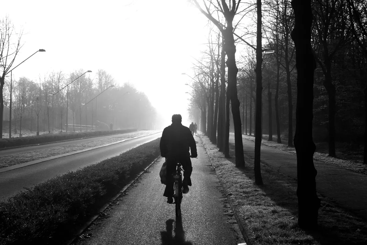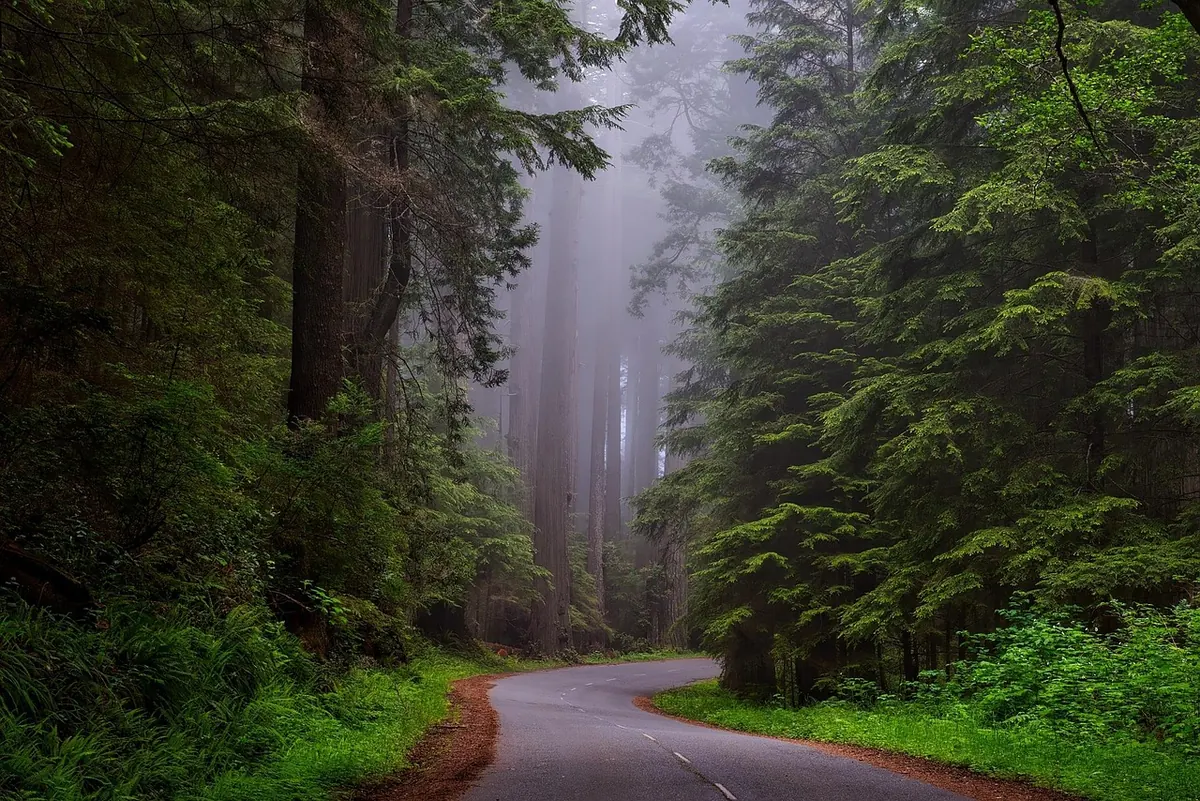
Some mornings the forecast says mist, the next it says fog, and by the afternoon it is hazy. From the kitchen window they all look like the same grey wash, but they are three different things. The difference matters if you are driving to work, walking the dog on the moors, planning a long cycle or simply deciding whether to hang the washing out.
Forecasters do not split mist, fog and haze by how they look. They split them by how far you can see, and by what is floating in the air.
That last point is the giveaway. Mist and fog are water droplets suspended in air that can no longer hold its moisture. Haze is dust, smoke, salt or pollution: tiny solid or liquid particles that scatter light without needing damp conditions at all.
Worth knowing that these thresholds are conventions, not walls. A misty morning at 1.1 km is not meaningfully different from a foggy one at 900 metres. The label only tells you which side of a line the forecaster landed on. What matters to you is the timing and the trend.
Mist is what most of us actually meet on an autumn morning. It forms in shallow layers, often in valleys, over wet fields and along rivers, and it is frequently only tens of metres deep. Look up and you may well see blue sky above it. By mid-morning the sun has usually burned it off.
The recipe is simple. Overnight the ground cools, and the air just above it cools with it until it reaches its dew point. Water vapour then condenses onto specks of dust, pollen or salt, forming droplets a few microns across that hang in the air instead of falling as rain.
Because it is shallow and patchy, mist is rarely dangerous in itself, but it does mean one stretch of road can be clear while the next is not. Dipped headlights are usually enough. You do not need fog lights for mist unless visibility drops below roughly 100 metres.
Fog is mist that has gone the distance. More moisture, more cooling, less mixing, and visibility falls below a kilometre, sometimes below 50 metres. It does not always lift at dawn, and in the wrong conditions it can sit there for days.
This is the classic UK autumn and winter fog. Clear skies, light winds, long nights and a damp ground. Heat escapes, the ground chills, and the air above it cools from below. A very light breeze helps stir the cooling layer and deepen it; strong wind mixes the air and prevents it, and complete calm leaves only a shallow skin of mist. The thickest radiation fog tends to gather in valleys and low-lying spots around dawn, then thin as the sun warms the ground.
Advection fog has nothing to do with a still night. It forms when warm, moist air drifts over a cold surface, such as the sea in spring and early summer when water temperatures are still low. It can appear at any hour, spread over a wide area and last for days. If you live near the coast, this is the fog that ruins a June afternoon.
Freezing fog is fog made of supercooled droplets, still liquid below zero, which freeze on contact with trees, gates, wires and road surfaces. That leaves rime on every twig and, more importantly, ice on paths and untreated roads. Hill fog is simply fog affecting higher ground; forecasters mention it separately because walkers, cyclists and drivers on higher routes can be in thick fog while the valleys below are clear.
Haze does not need damp air. It comes from particles: Saharan dust, wildfire smoke drifting in from far away, traffic and industrial pollution, sea spray, pollen. Because those particles are small and often spread through a deep layer of the atmosphere, haze flattens distance rather than blanketing nearby objects. On a hazy day the hills on the horizon turn pale and lose their detail, while the tree at the end of the road stays perfectly crisp. With fog it is the reverse: nearby things soften and distant things vanish.
Haze can also tint the sun orange or red, especially low in the sky, and it often lingers all day instead of clearing after sunrise. If you have asthma or another respiratory condition, hazy days with smoke or pollution can feel uncomfortable. Keep your usual medication to hand, and speak to your GP or pharmacist if your symptoms change.
Forecast wording is compact, and each phrase is a hint about type and timing.
When a forecast gives visibility in metres, take it literally. Two hundred metres is genuinely difficult driving, whatever the label attached to it.
Mist, fog and haze all cut visibility, but only two of them are water. Below 1 km it is fog; between 1 km and about 5 km in damp air it is mist; reduced visibility in drier air, caused by particles, is haze. Fog deepens after a clear, calm night or when moist air crosses a cold surface. Mist is the shallow version that usually lifts by mid-morning. Haze can hang around all day and often arrives with warm, still, dusty or polluted conditions. Read the forecast for the words patches, freezing and hill, then check the wind, the temperature and the time of day. That is usually enough to know whether you are in for a quick grey start or a proper fog day.
Photo: Goodfreephotos_com / Pixabay